U.S. Federal Government to Permit Sensing Companies Sale High-Resolution Commercial Satellite Images of Israel
U.S. commercial remote sensing | July 20, 2020

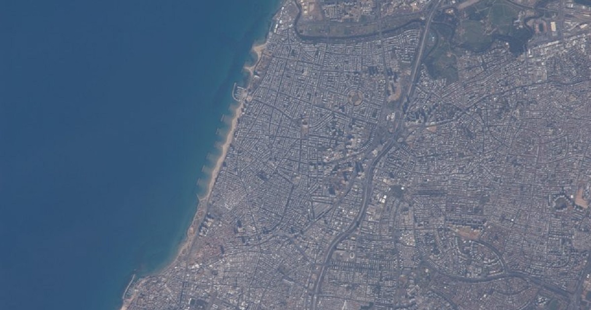
The federal government will soon allow U.S. commercial remote sensing companies to sell high-resolution satellite images of Israel, changing resolution limits that have been in place for more than two decades. In a draft of a Federal Register notice obtained by SpaceNews, the National Oceanic and Atmospheric Administration (NOAA), which hosts the office that licenses U.S. commercial remote sensing satellite systems, says it will reduce the resolution limit on satellite imagery of Israel from 2 meters to 0.4 meters. It is also available as an “unpublished notice” available for public inspection on the Federal Register website, with a note that it is scheduled for formal publication July 21.